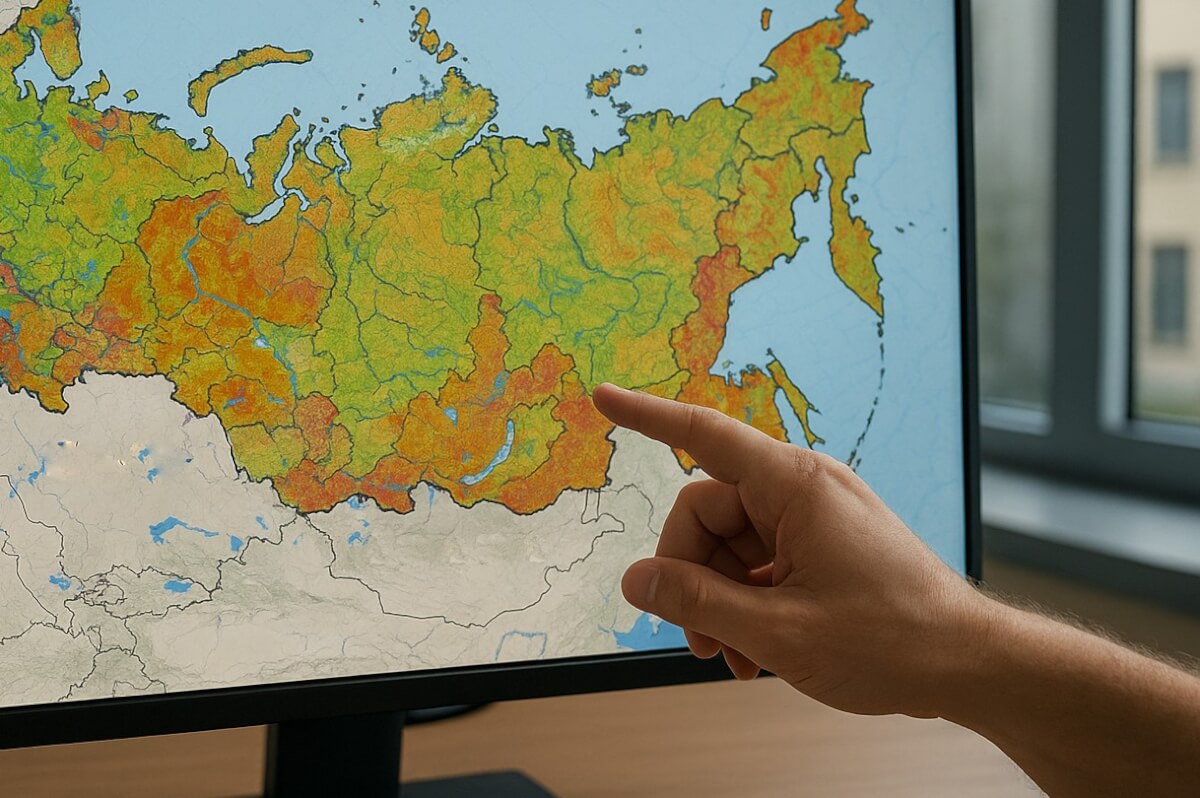
The Federal State Budgetary Institution RosAgroChemService, together with RosselkhozZemMonitoring and the Dokuchaev Soil Science Institute, has begun the creation of a unified digital soil map of Russia. The project aims to harmonize large-scale soil maps and consolidate various cartographic data into a single standard.
The main objective of the project is to produce a coherent cartographic tool for assessing land resources, modeling natural processes, planning land use and agricultural activities, as well as analyzing risks associated with soil conditions.
The development process is carried out in several stages. First, all available data—maps, reports, descriptions, and land suitability classifications—are collected and analyzed. Paper-based sources are converted into digital format, systematized, and soil types are standardized under a unified classification.
Next, spatial correction (geocorrection) is applied to align soil object contours with geographic coordinates, resolve inconsistencies between maps, and fill data gaps using interpolation, geostatistics, and expert assessment. All layers are then merged into a single database and visualized.
Representatives of RosAgroChemService emphasize that the project requires a complex combination of expertise in soil science, geographic information systems, and statistics. The final product will significantly enhance analytical capabilities for decision-making in agriculture, ecology, and territorial management.
The creation of a unified digital soil map not only accumulates data but also improves comparability and quality, providing a solid foundation for modeling, forecasting, and informed land management decisions.


